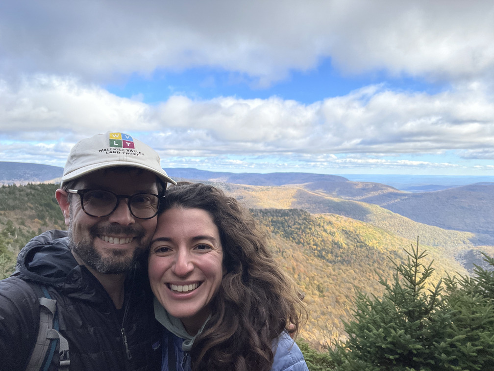
Peak Fall at Westkill
- Peaks: Westkill
- Type: Out and Back
- Time: 3.5 h
- Distance: 6.7 mi
- Elevation Gain: 2000 ft
- Hikers: Dan, Alex
Timeline:
- 11:45 AM Leave home
- 1:20 PM Start hiking
- 3:15 PM Summit Westkill
-
5:00 PM Back at car
- Tracks: AllTrails
- Conditions: Mostly sunny, cool, dry. Good fall colors!
I went climbing at the Gunks on Wednesday. It was cool, but the leaves were still mostly green with only a bit of color. It made me wonder if the Catskills were peaking. I wanted to see some fall colors!
I’d had plans to climb on Thursday as well, but my partner bailed. It was a perfect day and I wanted to get outside. I’d mentioned doing a Catskills hike to Alex over breakfast. After her morning yoga class, she agreed. In retrospect, something very similar happened for a fall hike two years ago.
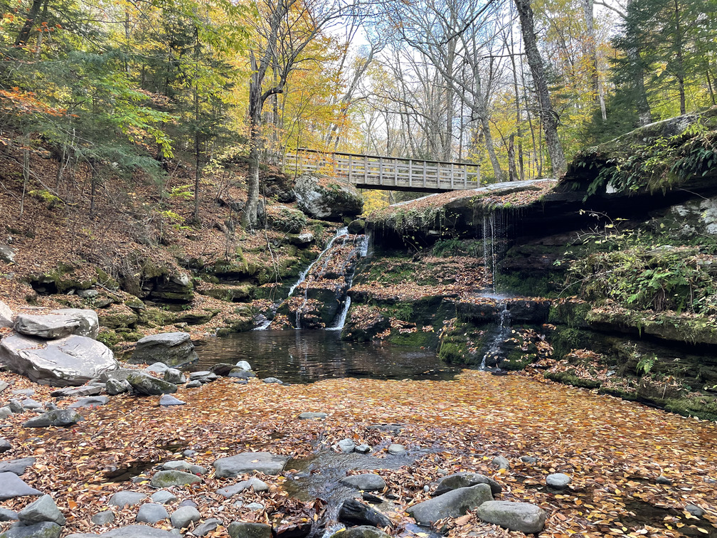
Which hike to do? Alex had ten high peaks left for her 3500 list and I had 13 left for my fall “four seasons” list. There were six peaks on both of those lists, but the only one with a trail and a view was Westkill. So Westkill it was!
We’d purchased an EV a few weeks ago (a Hyundai Ioniq 6) and this was our first drive up to the Catskills with it. It’s about 70 miles each way, easily short enough to make it there and back on a charge.
I’d hiked the trail between Westkill and Diamond Notch falls once before, going down, when I did the Spruceton Straightshot with John. I read that post to Alex in the car, strategically leaving out the bit where I wrote that it was steep!
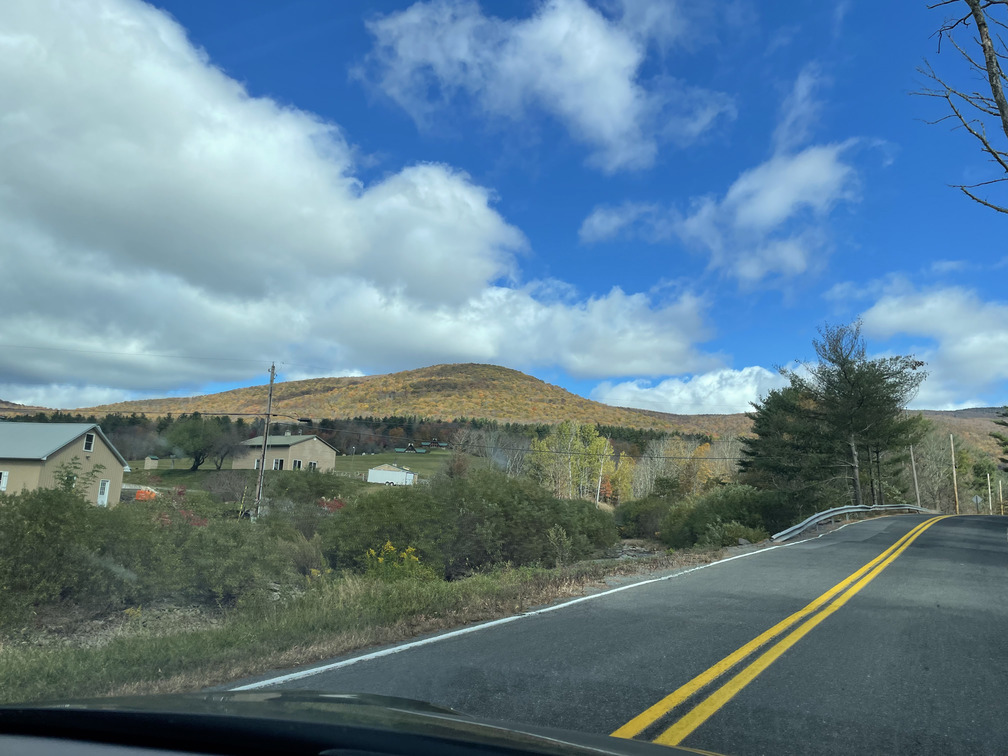
The leaves were still mostly green on the Thruway, but as soon as we turned onto Spruceton Road we were in peak fall. The mountains were bright yellow. We’d nailed it!
The Diamond Notch parking lot had maybe five other cars in it. We chatted with a fisherman who had just wrapped up. He said he’d caught a few “brookies” – rainbow trout?
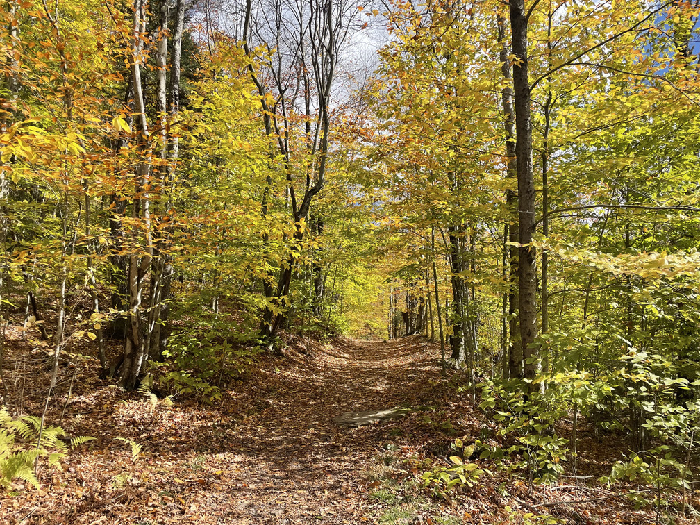
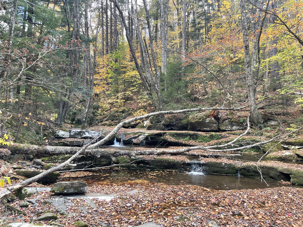
The initial trail along the West Kill was flat and colorful. We ran across a few people coming back from the summit. The kill was low but definitely running.
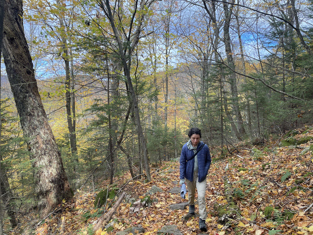
After turning up the Devil’s Path, it got steep! I was quickly down to a t-shirt. There were a few rocky ledges that we needed to traverse. When I looked back, I could see partial views of Hunter and Rusk looking colorful. This was slow going and we’d gotten a late start, so I set a mental turnaround time of 3:30, maybe 4 if we pushed it.
Along the hike, we stumbled upon a botanical mystery: what were these bright red sticks?
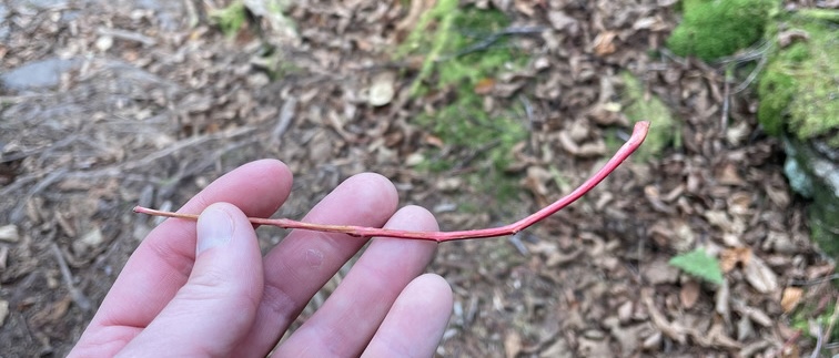
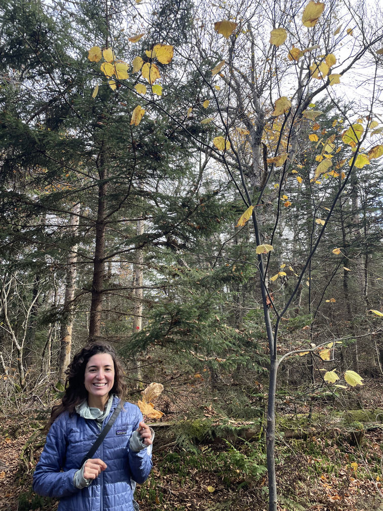
Hobblebush? Mountain Ash? Alex eventually figured it out by finding one still on the tree: striped maple! This was a good way to pass the time during the ascent.
The trail leveled out for the last ~mile along the mountain ridge. One final scramble and we were at the Buck Ridge lookout. Spectacular!
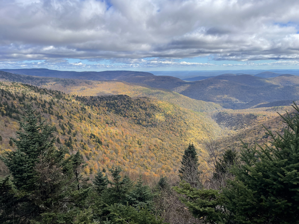
We could clearly see the “maple band” below us on the other mountains: they were most colorful in the middle, with less color as they transitioned to conifers near the top.
From the lookout, it was a quick walk to the summit, which we made with a few minutes to spare before my turnaround time.
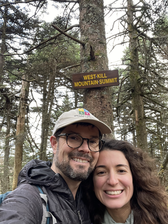
We actually made excellent time on this hike! I chalk this up partly to my being worried about time, and partly to the nearly total lack of birds on the hike. We heard a few (Junos? Kinglets?) but didn’t see a single one.
It felt genuinely cold on the way back along the ridge and I had to put my puffy hood on. This is something I haven’t felt in months! Having seen the “maple band” at the lookout, it was easy to tell when we hiked through it on the way down.
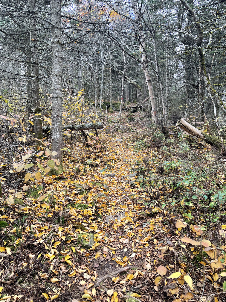
We ran into a tired looking group of guys on their way up. They said they were doing the Devil’s Path and were “almost” done. They must have had at least six or seven miles to go. Did they camp? They didn’t have much equipment. Devil in a day? I hope they finished OK!
This was Alex’s last trailed peak. To join the 3500 club, she has nine peaks left, all bushwhacks!
