Firbie Loop, A Flowery Finish for the High Peaks
- Peaks: Fir, Big Indian, Eagle
- Type: Loop
- Time: 8 h
- Distance: 12.8 mi
- Elevation Gain: 3435 ft
- Hikers: Dan, John
Timeline:
- 10:45 AM Start hiking from Burnham Hollow Lot
- 1:00 PM Summit Fir
- 2:30 PM Summit Big Indian
- 4:00 PM Summit Eagle
- 5:00 PM At Balsam Junction
- 6:00 PM Off the trail and on McKinley Hollow Road
-
6:45 PM Back at the car
- Tracks: AllTrails, eBird 1, eBird 2, eBird 3, eBird 4
- Conditions: Dry, partly cloudy, pleasantly cool. Lots of bugs at lower elevations.
After hiking Balsam Lake Mountain two weeks ago, I’d hiked 31/33 of the Catskills High Peaks on public land. The remaining two were Big Indian and Eagle, which I planned on hiking as a big loop. Since writing that post, I learned that Hikers Anonymous calls this the FirBBiE loop: Fir, Balsam, Big Indian, Eagle. Just what I needed to complete my list!
Given the time of year, I’d hoped that this would be a bird and flower-filled hike. I was not disappointed!
The Hikers Anonymous page on Burnham Hollow indicated that the trail started near a DEC parking lot with a ten foot-wide strip of public land between yellow-blazed trees. This was easy to find from the road. It was steep!
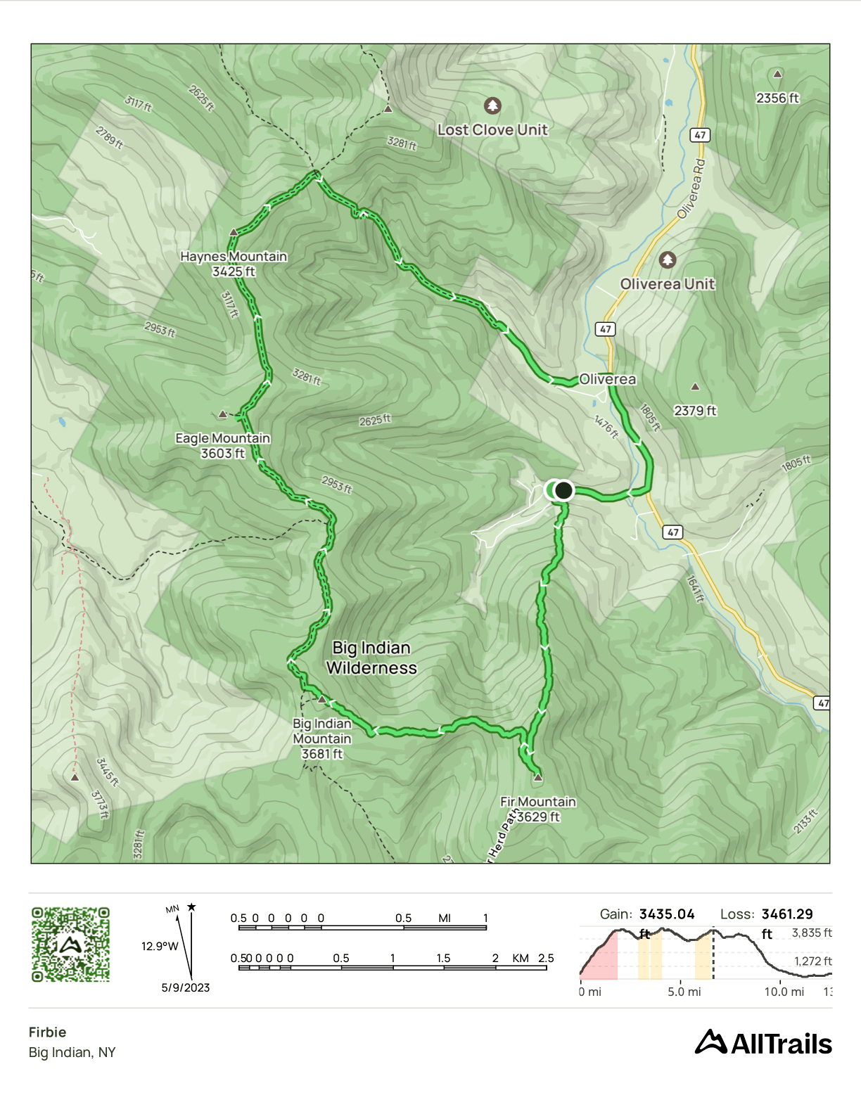
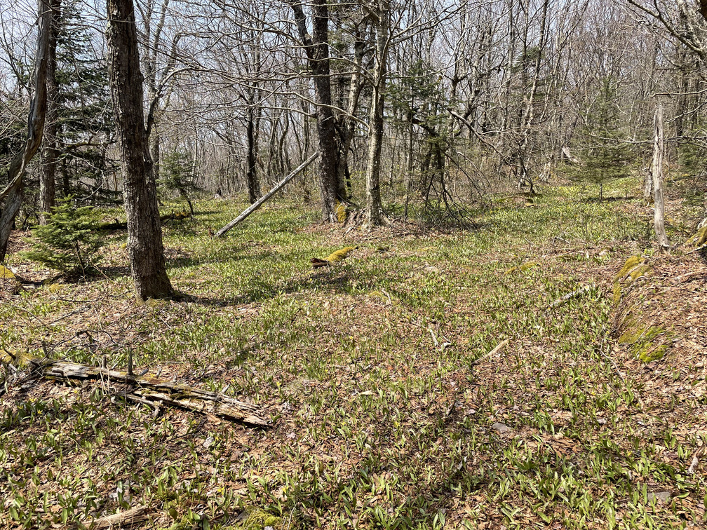
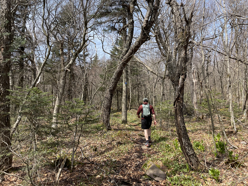
We started off a bit cold, but the steep ascent quickly made us forget all about that. There were tons of ferns in this section and lots of singing birds, but not many flowers. John guessed that the canopy was too leafed-out for flowers to thrive.
The yellow blazes continued to be visible on this section of the bushwhack, but I believe they’re a property boundary, rather than trail markers. There wasn’t an obvious herd path here but navigation was easy enough. There are no valleys or false summits, so “up” was good, and the steeper the better. The forest floor was quite open, probably thanks to our favorite herbivores, the deer.
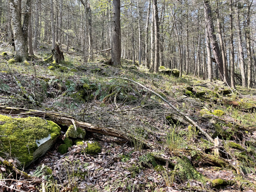
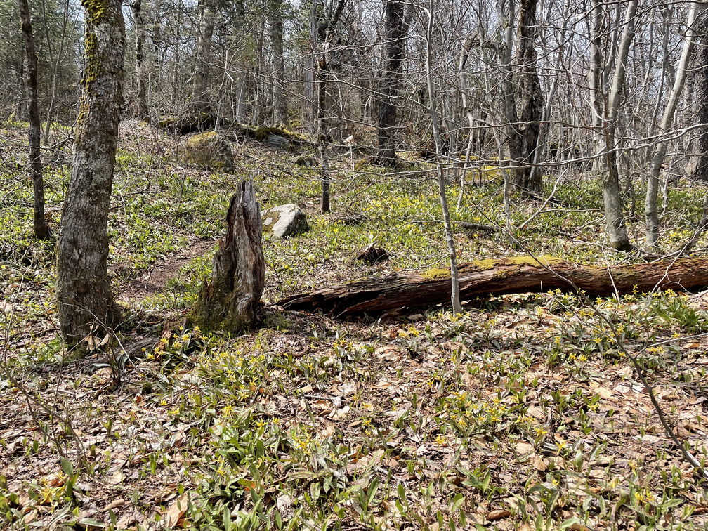
Eventually we ran across an old logging road and took that up as far as it made sense. The bugs were out in force and we wound up doing a large chunk of the hike with mosquito nets on. Soon the trees got shorter and less leafy and the canopy opened up. We started seeing countless Trout Lilies, Spring Beauties and the occasional Trillium.
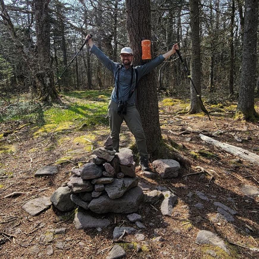
As with our Fir snowshoe in March, there was never a clear view of the Fir summit. You could only ever see the rise to the next plateau. As we approached the summit the herd path got more and more clear, and eventually this took us straight to the canister. It was considerably easier to find than in March when the herd paths were all covered in snow! We found our names from the snowshoe in the logbook when we signed in. It’s hard to believe that was only seven weeks ago. Conditions could not have been more different!
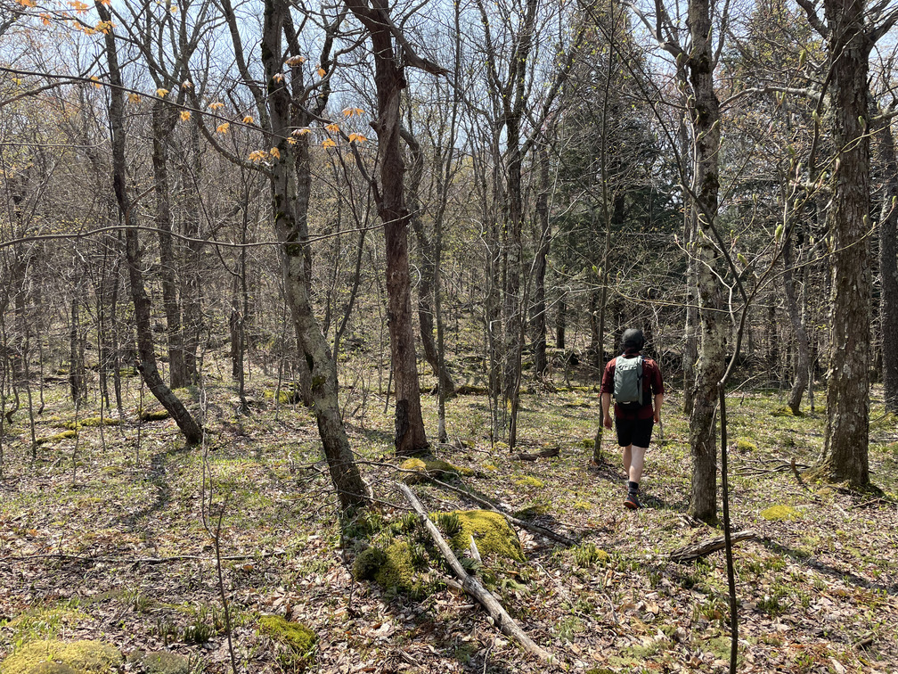
Despite pretty clear herd paths between Fir and Big Indian, we did manage to get a bit off the beaten path and had to find our way back. No complaints, though, we did find a spectacular field of Trout Lilies:
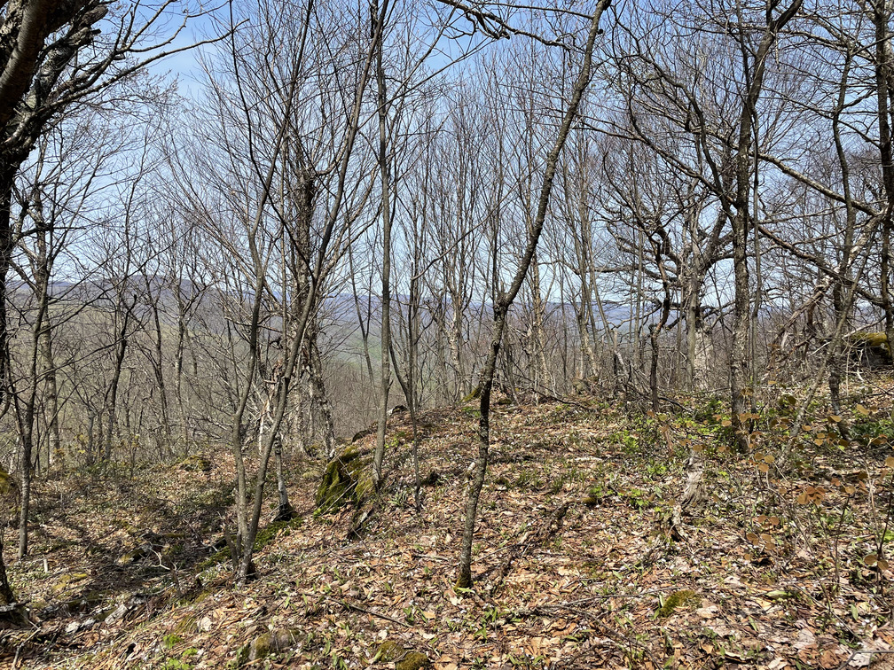
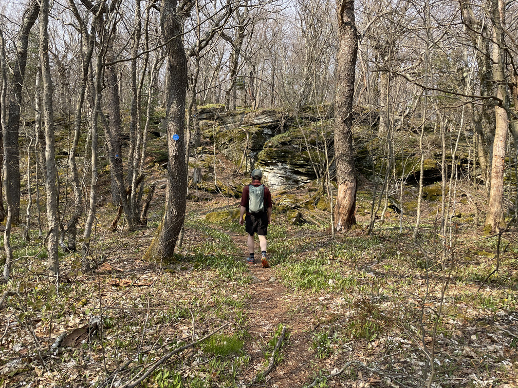
Once we recovered the herd path, this section of the hike was beautiful and pretty cruisy. There were partial, seasonal views in a few places.
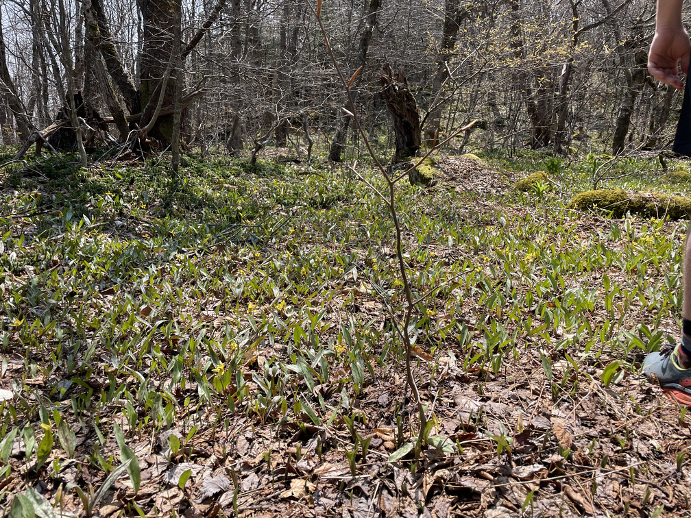
There were also countless flowers blooming everywhere!
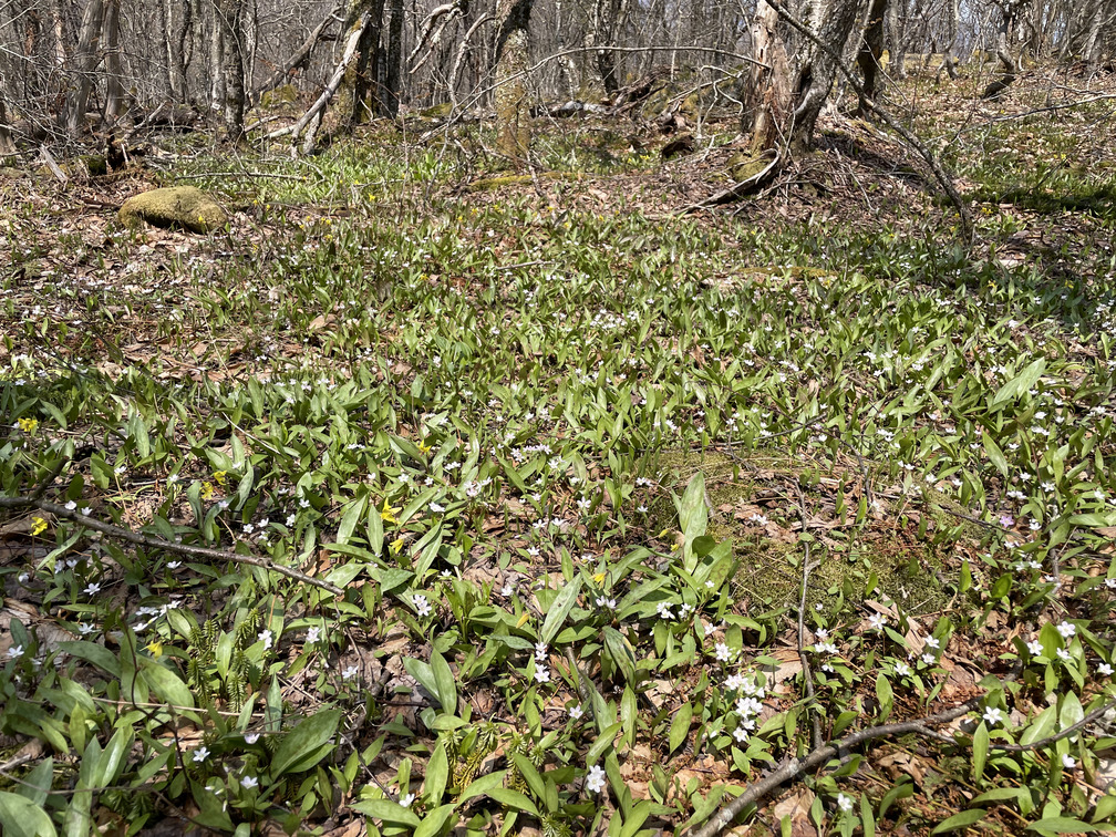
At the start of the hike we were excited to see flowers, but by the end we were so overwhelmed that we almost stopped noticing them!
Eventually there was a sharp, rocky rise and we were at the Big Indian canister. Shortly after that we were back on the blue-blazed trail.
I’ve often been struck that the blazed paths aren’t always much better-defined than the herd paths, and that was very much the case here. There was more erosion on the blazed trail, at least: more mud, more walking directly on rocks. I preferred the herd path!
The traverse over to Eagle went quickly. I’d seen on the map that the peak was just a bit off the path, maybe a tenth of a mile. I wasn’t sure if it was considered a bushwhack or if there would be a canister to sign in. When we got there, we realized that “a tenth of a mile” was a stretch: we could see the canister from the trail! it might have only been a hundred feet down an exceptionally clear trail. There was a cool rock statue by the canister.
This was the last of the high peaks for me and I had mixed emotions. On the one hand, I was happy to have completed a big, ambitious project. But on the other, it meant that there were no more surprises left among the high peaks, no more first times at summits.
We briefly got cell service at the summit and had a text: when would be back for dinner? We did some calculating and realized we were running behind. No time to linger!
There was a minor peak, Haynes, along the path back. This rock face came as a surprise and was the last significant ascent of the hike.
Soon we got to the red/blue junction and a decision point: hike a fourth peak, Balsam, or go straight back? We’d gotten a late start so hiking Balsam wasn’t a realistic possibility. Too bad since it has the only unobstructed view of the day. It would be a FirBiE, not a FirBBiE.
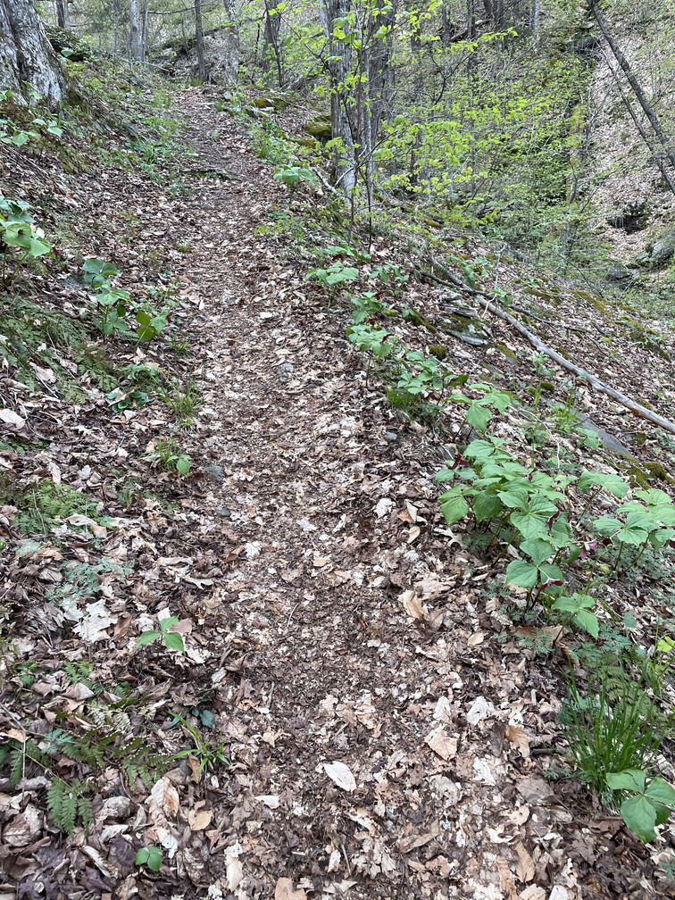
As I’ve noticed on previous hikes, the vegetation on the eastward-facing descent was notably different than it had been on other parts of the hike. We saw Ramps, Early Blue Cohosh and our first Nettles of the season. There were far more Trilliums here near the stream, and especially lower down the mountain more of them were open.
The descent here was steep. At one point I tried to adjust the focus on my binoculars, only to have my fingers covered with something sticky. The grape jelly from my peanut butter and jelly sandwich must have dropped down directly on the focus knob. Yuck!
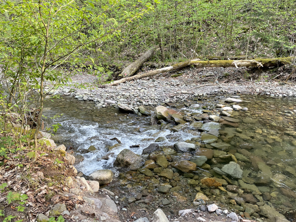
Fortunately there were a few stream crossings up ahead to wash off. The crossing that was so treacherous back in January was much more pleasant in the warmer weather.
We crossed the last bridge, signed out and found ourselves back at Eastwind. Sadly they were closed on Mondays, so no celebratory drinks today!
The last 2.5 miles of the loop were on roads. I was a bit tired and sore, so this stretch wasn’t my favorite. I’d had some aims to use a bicycle to cut out this last bit of walking, but I’d wound up deciding not to. It wouldn’t have actually saved much time (we’d drive these 2.5 miles twice and bike it once, which isn’t much different than walking it once). I would have had to stash the bicycle at a trailhead all day and I couldn’t find my bike lock. And it would have required leaving John at that trailhead for 30 minutes while I stashed the car and rode back. Easier just to walk. John said that he had happy associations with hiking on paved roads from his time on the Appalachian Trail: it always meant that a town and beers were up ahead.
Fortunately hiking on roads is very fast and we were back at the car within 45 minutes and on our way home.
I’ve completed all the high peaks now, but I still have one more hike to do before I can join the 3500 club. Their by-laws say that you have to hike “Slide, Blackhead, Balsam and Panther mountains again in winter.” (my emphasis) I’ve only hiked Panther in winter, so I need to hike it again to complete my tally sheet. Weather permitting, I hope to do that next weekend!