Kaaterskill and Twin/Indian Head Doubleshot
- Peaks: Kaaterskill High Peak, Twin, Indian Head
- Type: Doubleshot (Out and Back, T)
- Time: 7.75 h
- Distance: 13.3 mi
- Elevation Gain: 3595 ft
- Hikers: Dan
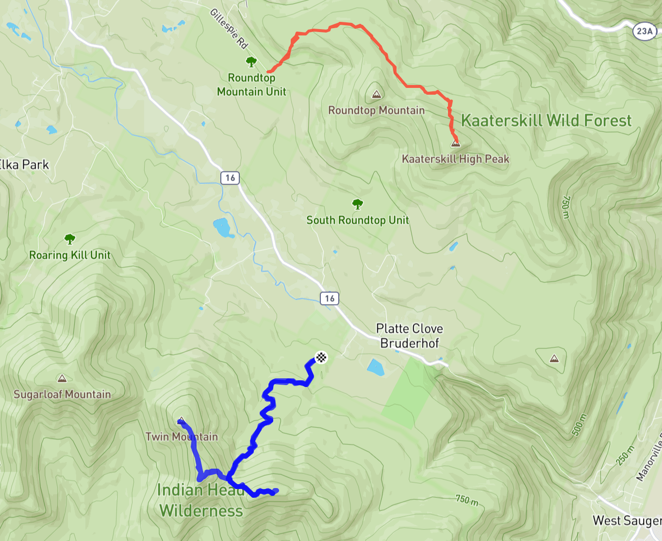
Timeline:
- Kaaterskill High Point from Gillespie Rd. 5.6mi+1371ft
- 7:30 AM start hiking
- 9:00 AM summit KHP
- 10:15 AM back at car
- Indian Head and Twin from Prediger Rd. 7.7mi+2224ft
- 10:45 AM start hiking
- 11:45 AM at Jimmy Dolan Notch
- 12:20 PM summit Twin
- 1:10 PM summit Indian Head and break for lunch
- 1:30 PM start the descent
- 2:45 PM back at car
- Tracks: AllTrails KHP, AllTrails IH/Tw, eBird
- Conditions: Cold (20s), sunny. Wet at lower elevations, crunchy snow and ice on the peaks.
Back in May, when I completed my 3500 list, I started to think about other hiking goals. Since I’d done so many hikes already in 2023, I wasn’t that far from hiking all the Catskills high peaks in a calendar year. As it gets colder and the climbing season winds down, I’ve started to focus more on that goal.
After Alex and I hiked Wittenberg and Cornell in October, I had nine peaks left for 2023. There was an official 3500 Club hike last Sunday across the Eastern Devil’s Path that would have earned me three of those. But I preferred to sleep in and hike Sugarloaf with Alex. It was a lot of driving for just one peak. I counted five separate hikes to complete my list for the year, which would mean a lot more round trips.
I usually connect peaks either by car shuttling (so that the start and end can be different) or doing an overnight camping trip. Shuttling requires coordination and camping in the winter doesn’t appeal to me. But there’s another option: a “doubleshot” hike.
A doubleshot means doing one hike and then immediately driving to another. I’d never done one of these before, but my remaining peaks looked amenable. Kaaterskill High Point is close to Twin and Indian Head, and neither of these hikes is especially long. The total mileage and elevation would be similar to other big hikes I’ve done like FirBBiE and the Spruceton Straightshot. I estimated hiking and driving times and figured I’d need to leave home by 6:30 AM.
Alex was not exactly enamored with this idea. It was going to be cold (20s) and windy, with a possible winter storm coming through. I reassured her that we’d hiked in these sorts of temperatures before, and that I’d contact her regularly throughout the day.
Unfortunately I had trouble sleeping: I kept thinking about what times I should be at each summit, what could go wrong and whether it would be scary to be hiking out in the dark. I didn’t fall asleep until around midnight and woke up at least once every hour. My alarm was set for 6:00 AM but I was up by 5:45 and decided to get on my way. I was out the door at 6:05 AM.
On the drive up, I listened to my neighbor Barefoot Ken and Hank Osborn on the Inside the Line Catskills podcast. There was an immediate issue: my phone wouldn’t connect to my car. This happens from time to time and it meant that I was draining battery as I navigated to the first trailhead. I use my phone and AllTrails for navigation, so running out of battery would have been a major nuisance. Fortunately I’d thought ahead and brought a fully-charged Mophie. It was a beautiful drive up as the sun rose.
First up: Kaaterskill High Peak! The only other time I hiked this was last summer starting from Steenburg Road to the east. But my trip planner was quite enamored with the idea of starting on the west, at Gillespie Road. This route is mentioned on Hikers Anonymous and AllTrails and I’ve seen Sarah Zheng post tracks for it, so I was curious to check it out. Most hikers add Roundtop on this route but, since I had lots of hiking to do, I wanted to minimize bushwhacking on on unfamiliar territory.
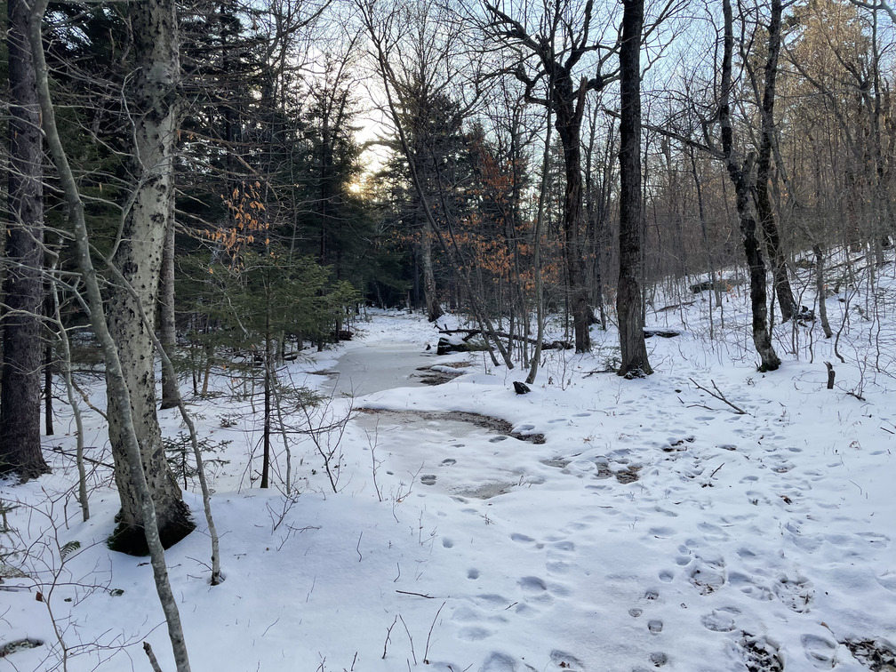
Gillespie Rd quickly turned into a dirt road and led to a small lot. There was a cairn marking the trailhead going up a stream. We’d had a big rainstorm two nights earlier (after my last hike) so the stream was flowing vigorously. It was cold (in the 20s) but not so cold that the mud was frozen firm. Not amazing conditions! Soon the stream turned but I continued straight to bushwhack through to a snowmobile trail.
This short bushwhack is what makes the Gillespie route efficient. You bushwhack maybe a quarter mile to save two miles of hiking. It was steep and I wasn’t able to make out much of a herd path. There were a few human footprints, but many more deer and bear prints! I saw a Pileated Woodecker in the woods. One near disaster here: after using my phone, I tried to put my glove back on only to find it missing! Fortunately it was just a few feet behind me, still visible in the snow.
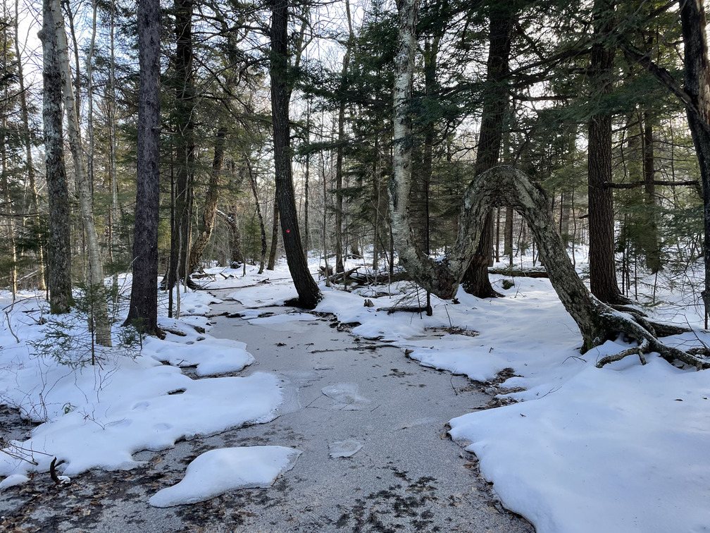
After a few minutes I was done with the bushwhack and onto the snowmobile trail. My only other experience with these was last March at Bearpen. Based on that, I was expecting extremely easy terrain and was hoping I could move fast. Not so much! I imagine this trail would be great in March when it’s covered in thick, compacted snow. Or maybe in the summer after a drought. But in November after a rainstorm, it was a nasty mixture of ice and mud.
While the conditions on the ground were poor, the conditions in the sky were excellent. There’d been some flurries on the drive up, but they went away and it turned into a sunny day. While hiking on the snowmobile trail I flushed a Ruffed Grouse (always an exciting experience) and heard an unfamiliar song which Merlin identified as a Red Crossbill. I didn’t see it but I must have been very close. This is a new one for me on the east coast.
 That ice is not very thick
The snowmobile trail took me around Roundtop first. I’d like to hike there some day and check out the Tory Fort, but today was not the day. Maybe when I do this as a winter peak.
Eventually I saw some tracks go off to the right and checked my location on my phone. Sure enough, this was the start of the steep bushwhack up to KHP. I noticed on the way back down that there was even a cairn here.
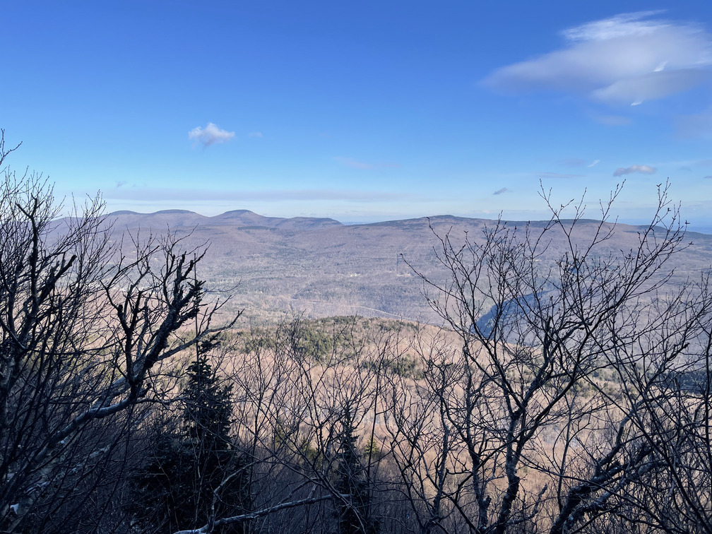
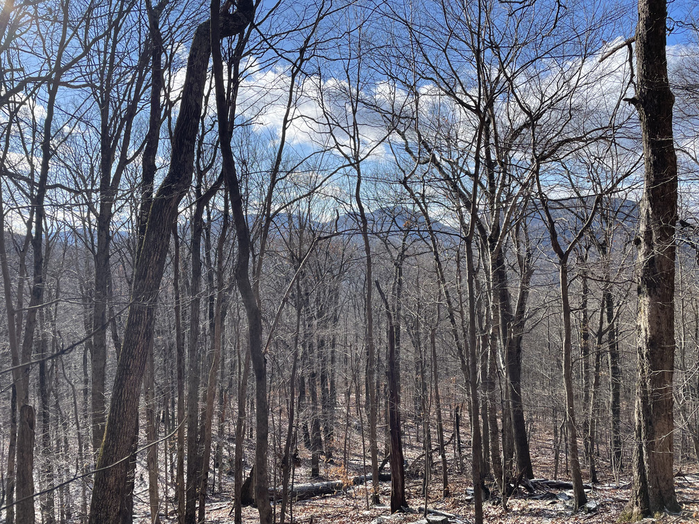
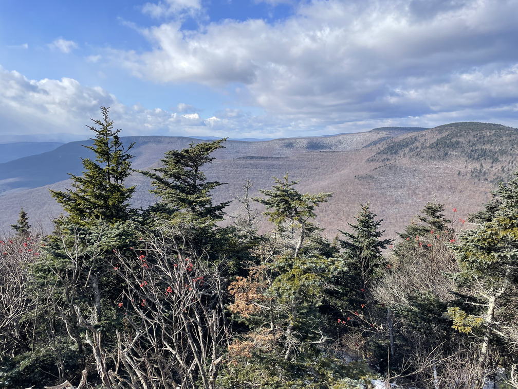
This part of the hike was very steep and icy, and I was extremely grateful for my spikes and a fresh set of tracks that I could follow. Perhaps I followed them too closely: at one point they disappeared and I realized I’d followed (and reinforced) a wrong turn! There were some partial views on this trail eventually leading to a beautiful, unobstructed view looking north towards the Blackhead range. This was probably the hardest part of the whole day. The hiking was steep and I still felt groggy from my poor night of sleep.
As I approached the summit I entered a dense hemlock forest and was soon at the canister! This was the first time I got to sign in with my 3500 Club number. I remembered a spectacular viewpoint from the last hike here, but I was content with what I’d seen on the way up and didn’t want to lose time. It was 9:00 AM and I was ahead of my plan.
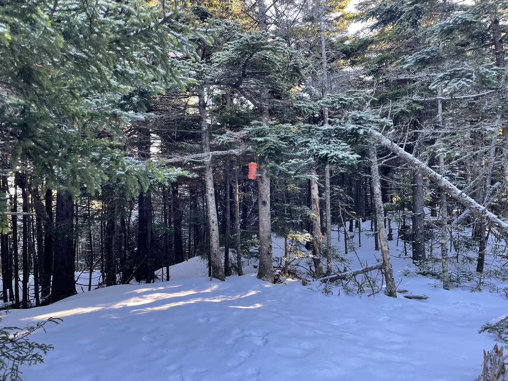 Kaaterskill Canister
The hike back was very fast. I felt encouraged by how well this had gone and how much ahead of schedule I was. The bushwhack back down was confusing but fortunately hard to screw up too badly. By the time I was back at the car at 10:15 my cell phone was nearly dead so I started charging it up with my Mophie.
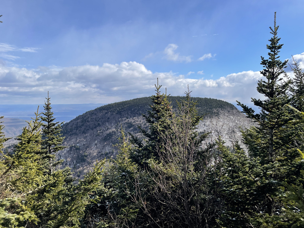
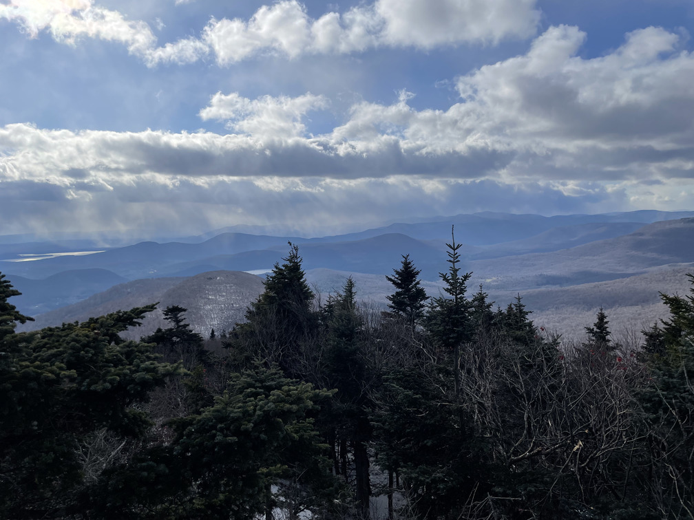
 View of Indian Head and Twin from the snowmobile trail
I finished my breakfast in the car and made the short drive over to the Prediger Road trailhead for my second hike. I wasn’t alone! There was one other hiker setting off as I arrived and a ranger parked in the lot. It was nice to know that I wouldn’t be the only one on the mountain.
A “doubleshot” hike is nice in that you can repack and adjust midway through the day. I refilled my water bladder and packed a lunch. But most luxuriously, I took off my sopping wet socks, let my feet air out for a few minutes and put on a fresh pair with new toe warmers. They felt amazing!
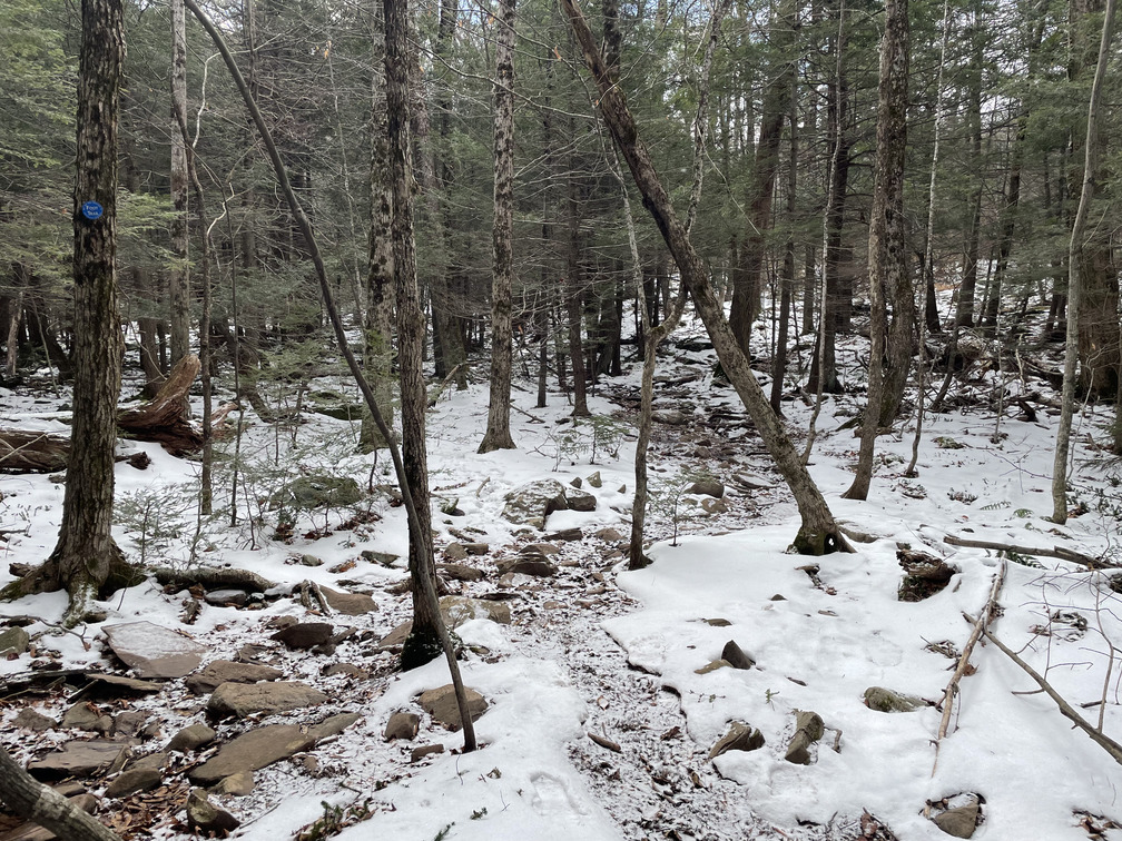
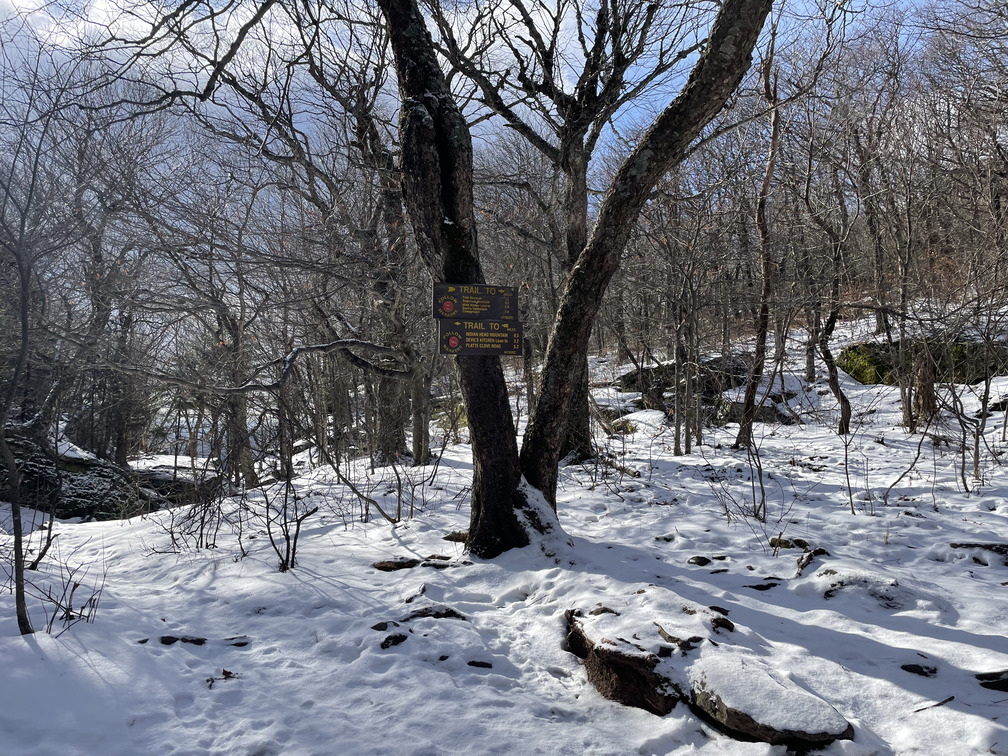
I was on the trail for my second hike by 10:45 AM. My goal had been noon, so I was considerably ahead of schedule. The plan was to do a “T” up to Jimmy Dolan Notch, from which point it was a short hike to both Twin and Indian Head. I’d been to this notch a few times. The trail was very clear and easy, if only compared to the snowmobile trail. While there was mud, there were also lots of rocks and the hiking involved a lot of skipping between them.
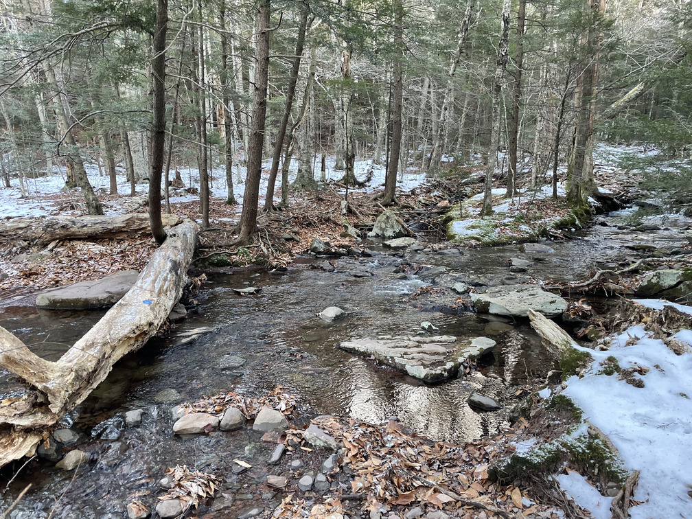 Nothing says “welcome to the Catskills” like a stream crossing in the freezing cold!
I made smooth, steady progress uphill. I put on my spikes for the steep ascent up to the notch and caught up with the other hiker here. I was pleasantly surprised by how quickly the notch came. Just a little more hiking and I’d be done with my ambitious day!
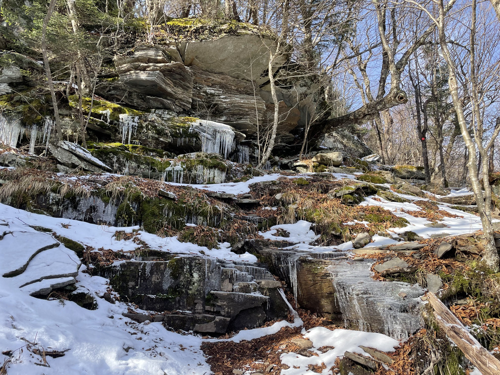
The hike up to Twin was steep and icy. I was pretty impressed with these icicles:
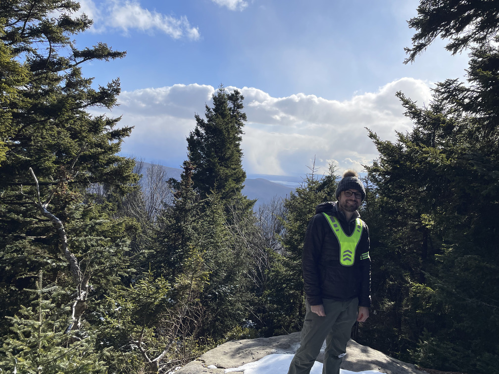
Soon I was at the south summit. I wish this counted as the true summit, but that’s 86 feet higher and half a mile farther down the trail. Not only does this mean an extra mile of hiking, there’s also the added injury that you have to ascend the south summit twice, once on the way up and once on the way back. I suppose this is a reason to do it as a traverse, like you would on the Devil’s Path. I flushed another Grouse along here and saw some tracks going off to the south. Perhaps there’s another viewpoint there? A bushwhack route?
I didn’t see the other hiker until I was nearly back at the Notch, so he must have contented himself with just the south summit. Next up, Indian Head.
 Looking at Indian Head from Twin
This is the easiest of the peaks along the Devil’s Path, but it’s still steep and I’d already hiked quite a few miles by this point. Soon I was over what seemed like the summit and arrived at a partial viewpoint. I hiked a little farther looking for a better viewpoint but didn’t want to lose too much elevation and decided the partial view was good enough.
I had a quick lunch here and was joined by the other hiker. His name was Doug and he was visiting from Troy, NY. He was doing this hike to try and get back in shape to finish his Winter 46ers up in the Adirondacks before his 67th birthday next year. He liked my goal of doing all the peaks in one calendar year.
It was a relief to know that it was “all downhill from here”, but I reminded myself to move carefully and slowly down the steep, icy terrain. This would be a bad place to slip and twist an ankle.
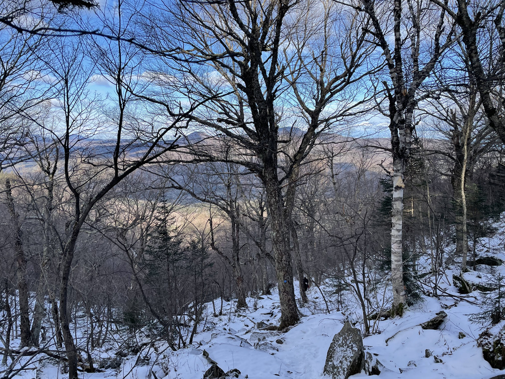 View of Kaaterskill High Point and Roundtop from Jimmy Dolan Notch
As I descended from Jimmy Dolan Notch I ran into a couple who looked to be in their twenties hiking up. They seemed a little underdressed and were in sneakers, so I asked about their plans. They were curious if it was icy higher up. Yes! They asked if I hiked a lot in the Catskills, and I had to say that I did. I tried to be encouraging in general but discouraging in this specific moment. I definitely wouldn’t advise trying to hike either of those high peak in sneakers. I told them that there were some nice views from just over the notch, which I believe is true. Hopefully they get some spikes and come back again.
The hike back down was mostly uneventful. I lost the trail a few times as it turned, but I at least noticed that I’d lost it and was able to backtrack. I was back at the car by 2:45 PM. Not only was I out of the woods by sunset, I was able to drive all the way home before it got dark.
Overall I’m very happy with how this hike went. I’m happy that I’m in good enough shape to do this and happy that I’m closing in on my end-of-year hiking goal. I have five peaks left which naturally split into three hikes:
- Hunter and Southwest Hunter
- Windham High Peak
- Black Dome and Thomas Cole
Windham and Black Dome/Thomas Cole could be done as a “doubleshot”, but I’m hoping to stay at a hotel near Windham the last week in December instead, both to reduce commute times and to encourage Alex to be on board for this adventure. And they’ll count towards my winter peaks!