Rusk Bushwhack: Snowshoes and a T-Shirt
- Peaks: Rusk
- Type: Loop
- Time: 3.5 h
- Distance: 5.8 mi
- Elevation Gain: 1709 ft
- Hikers: Dan
Timeline:
- 3:20 PM Start hiking
- 3:35 PM Start bushwhacking
- 4:40 PM Rusk Canister!
- 5:25 PM Summit East Rusk
- 6:15 PM Back on the trail
- 6:55 PM Back at the car
Conditions: Mostly sunny, 65° at the base, 50° at the summit. Snow starting at around 3200–3400ft with up to 12–18in.
Solo bushwhacks are generally frowned upon (what if you break a leg in the woods?) but I suspect that many hikers do them from time to time. I wanted to do at least one as part of my quest to complete the 3500. The solo bushwhack is, after all, the ultimate expression of confidence in the woods.
I’d taken a map and navigation class with Lyn W from the 3500 club last week and was excited to try my new compass on a hike. After writing up my planning notes I wanted to take a bit of pressure off the weekend of 4/14–16 (both mileage and weather). And I needed to drop Alex off in Albany this afternoon. This all added up to make it a good day to hike Rusk.
I wasn’t sure what to expect in terms of trail conditions. I’d been checking the mountain forecast for the past week and knew that there’d been a series of warm and cold days at the summit. When we hiked Bearpen and Vly on March 21st, there was around 18” of snow at the summit. How many warm days does it take to melt that much?
I got to the Spruceton Rd. trailhead parking lot a little after 3pm. It was 65° and sunny. There was a couple there just wrapping up their hike. They said it hadn’t been muddy, but they were surprised by the amount of snow up top. It had been a “snowshoes and a t-shirt” kind of day for them. I hadn’t brought snowshoes, but I hoped that my spikes would be enough at the lower elevation I’d be hiking (I assume they went to Hunter).
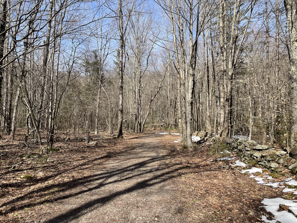
I set off in a t-shirt. I was slightly concerned at the amount of visible snow and mud even at the start of the trail, but that would prove to be an aberration.
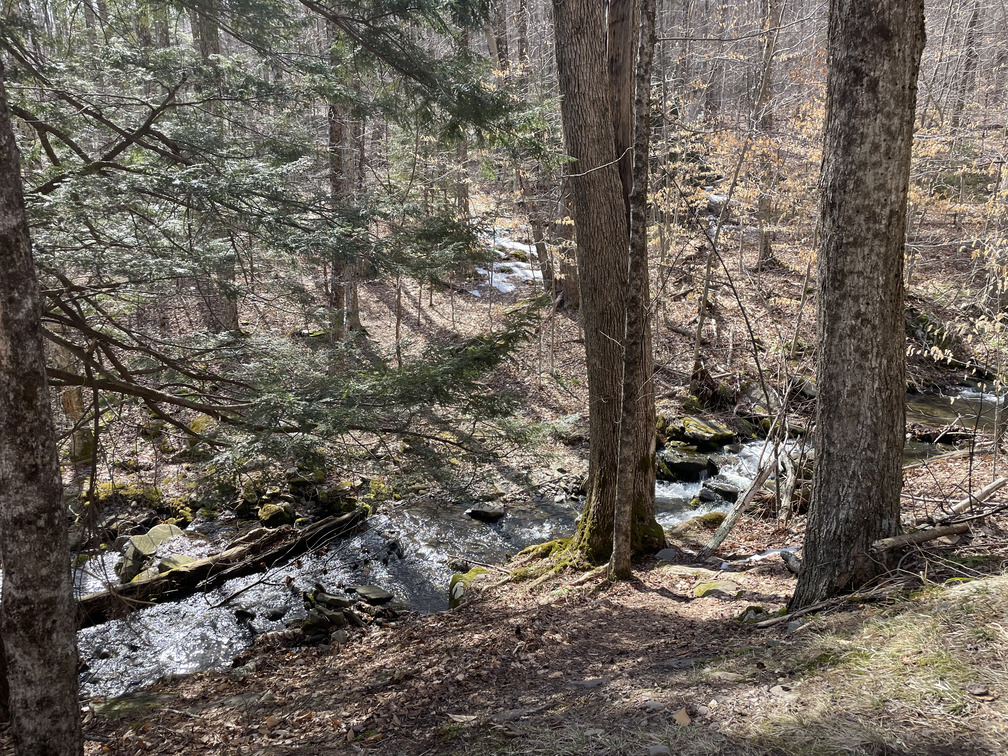
After leaving the trail at the wrong place on Fir a few weeks back I’d learned my lesson to identify the departure point using clear physical landmarks. For Rusk, the herd path departs after a stream crossing but before a major switchback in the trail. The bridge came very quickly, something like ten minutes into the hike.
I needed to cross a stream and started looking for the easiest place. I thought I spotted it and walked down. While doing this, I noticed a bird creeping up a tree and got it in my binoculars. The decurved bill cinched it: a brown creeper! This was a lifer for me on a Catskills hike one year ago, so this was an exciting spot.
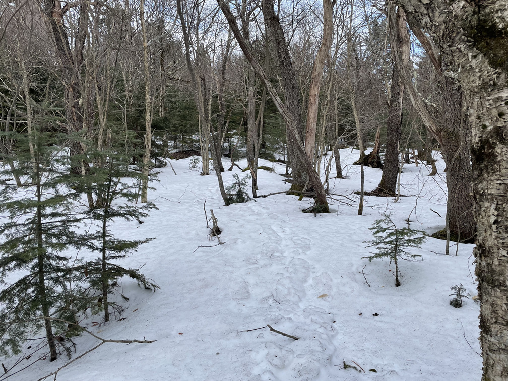
I remembered that I’d been overeager to get off trail on Fir last month and turned off too soon, so I decided to hike up a little more and see if there was a clearer herd path. Good idea! There it was, clear as could be on the other side of the stream.
The herd path was much clearer than I’d expected, more a footpath without blazes than a bushwhack.
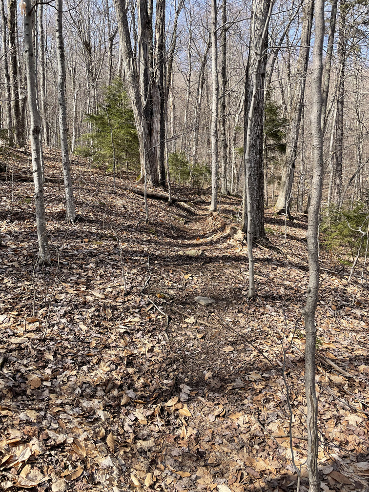
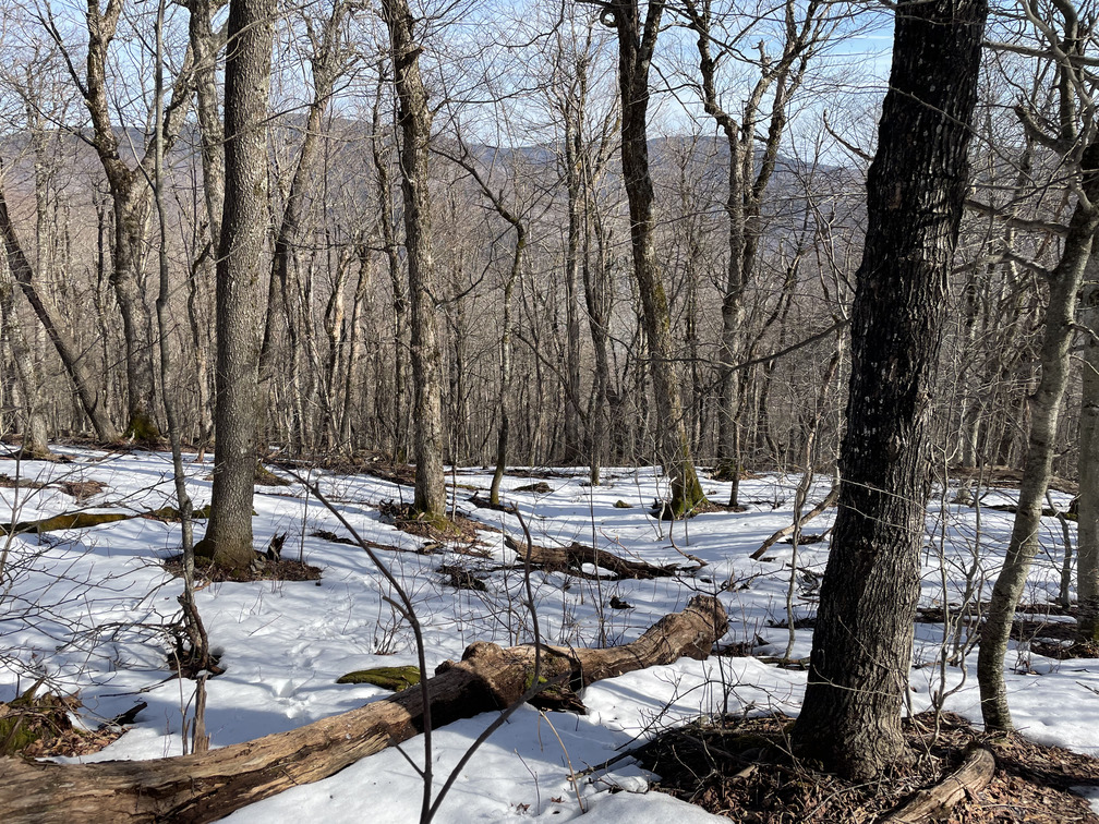
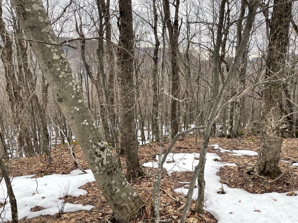
I was expecting a bearing of 324° and the herd path did seem to roughly go in that direction. There was no snow at all, though I could see more on the other side of the ravine. I think the steep, south-facing slope of Rusk made it less snowy.
After all the snow the past few months, it was a welcome change of pace to be hiking on dirt. I had to remember how to tell I was still on the trail. One good sign that I learned from The Nine last year was to look for rotting logs that people had stepped on:
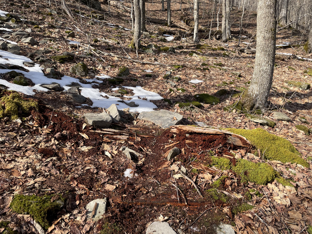
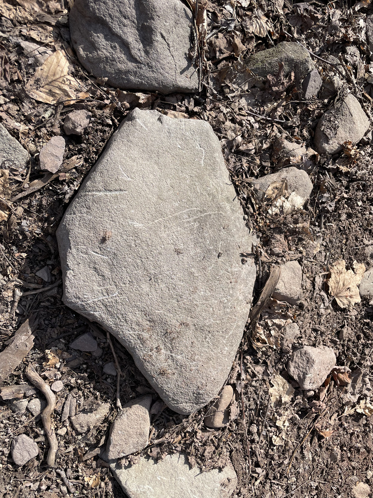
There weren’t too many of these on the Rusk trail, though. There were a lot of rocks, however, and a ubiquitous sign of the trail was the scratches that hiking poles left on them:
One thing I didn’t want on this hike was a bear encounter. My neighbor told me that he liked to talk to the bears while he hiked (“hey bear!”). I clanked my hiking poles together every once in a while to make noise. I didn’t see any bears on this hike (or any other mammals).
There were lots of birds, however! I heard many more brown creepers and at one point found myself in the middle of a spectacular duet between two winter wrens. I saw a few juncos near the path, and then saw something rustling in the ground. Was it a mammal? Nope! A robin! I was over 3000ft by that point. I’m used to seeing robins in my back yard, but I guess they’re also happy at elevation. I later saw one “singing its little heart out.”
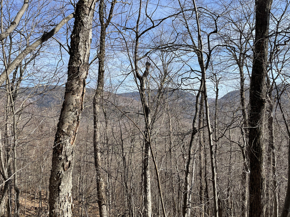
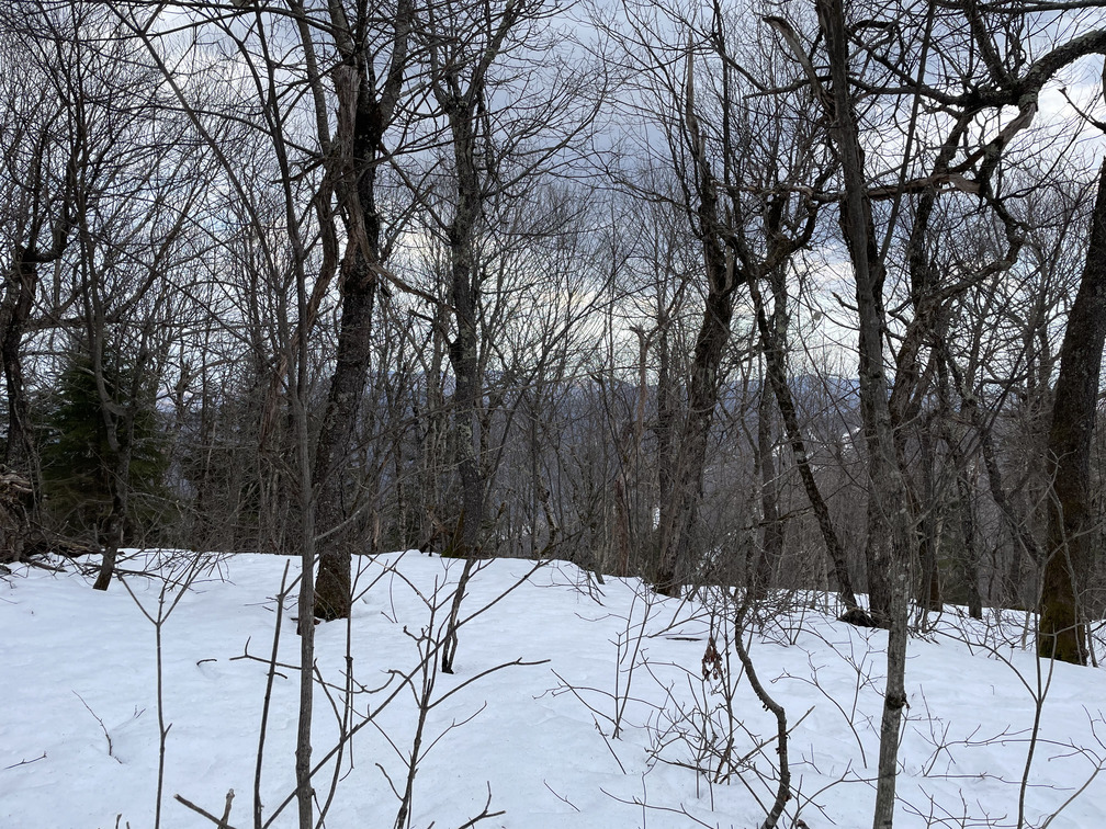
The hike up was quite steep. I made myself stop every few minutes to have some water and slow my heart rate. This also gave me a chance to appreciate the slowly-improving view of Hunter, Southwest Hunter and Westkill that was emerging behind me.
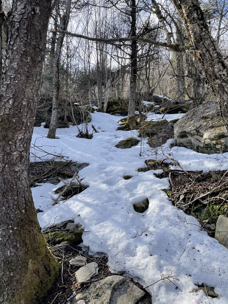
I’d hoped that the hike would be snow-free, and it very nearly was. But by the time I got to 3400 ft (Rusk summit is near 3700ft) it was clear that I needed to put on the spikes.
The herd path was less clear in the snow, but fortunately there were a few recent tracks that were visible. Hopefully they went to the right place!
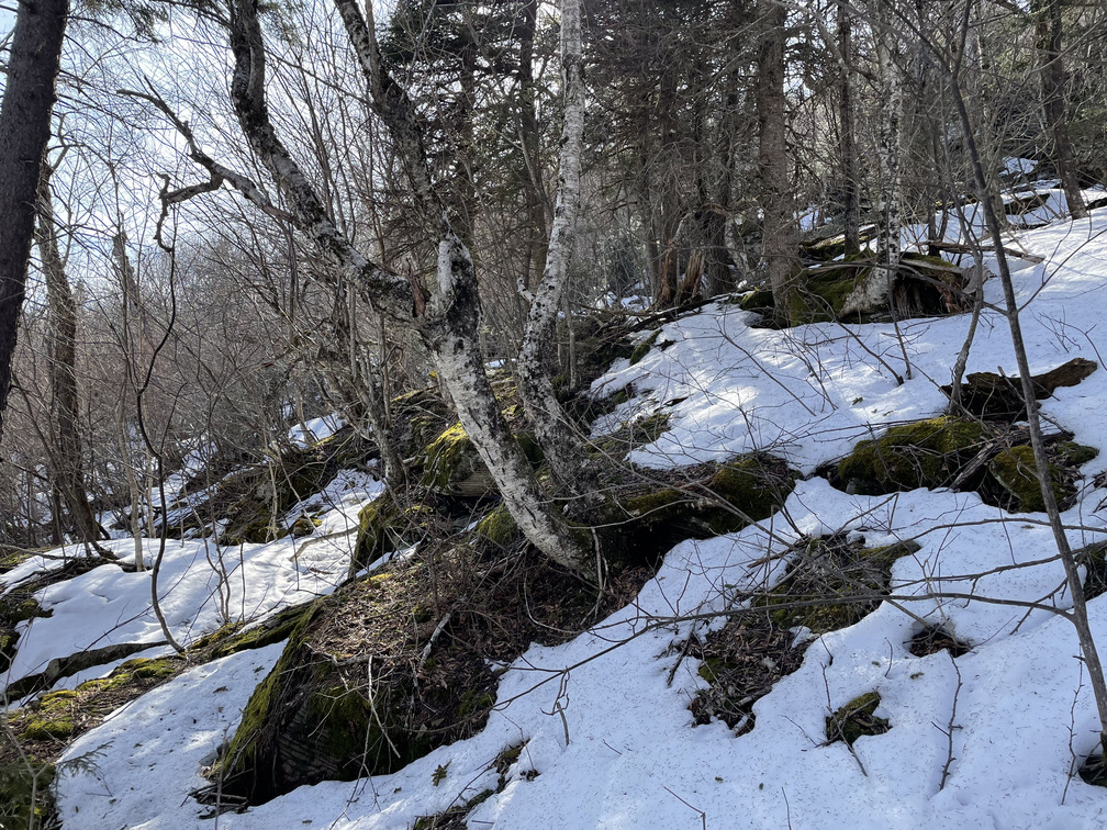
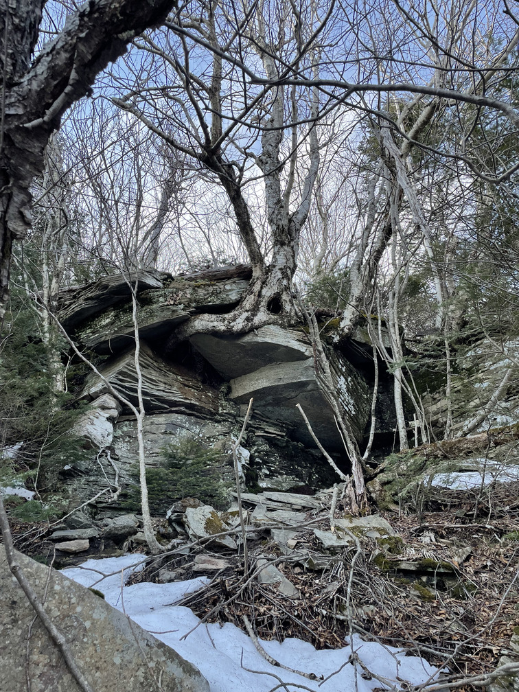
I liked the top of Rusk. It started to feel more adventurous with the scruffy hemlock forest and rock ledges. I was very happy to have my spikes walking up icy rocks.
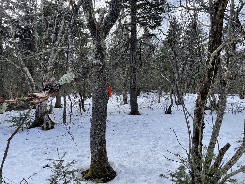
I would have had trouble finding the canister without tracks to follow, but fortunately the snowshoe prints led me right there. I was the only person to sign in today. I felt good about finding a canister without pulling out my cell phone!
Now I had a decision to make: go back the way I came or continue bushwhacking towards East Rusk? East Rusk is around 3620ft but isn’t a high peak because its prominence is only 150 ft. I’d read that East Rusk was more interesting than Rusk itself and I was slightly ahead of my mental cutoff of 5pm. The East Rusk hike would also be a much gentler slope, which my knees would thank me for. So on to East Rusk!
I set a bearing on my compass and used this to pick a set of snowshoe prints that went in the right direction. This ~1.5mi section of the hike proved much snowier than the approach to Rusk. I was very happy that there were snowshoe tracks to follow. The untouched snow was nearly 18” deep in some places and I’d left my gaiters at home, so I wasn’t keen about postholing. But thanks to the freeze/thaw conditions, the snowshoe prints were much harder than the surrounding snow and I didn’t sink in much.
When I got to the Rusk / East Rusk col, I was immediately glad I’d come this way. There’s such a great sense of exposure when you have views going off in both directions. The views were always obscured and don’t show very well in photos, but they felt more close at hand as I hiked and would consistently see them behind the trees.
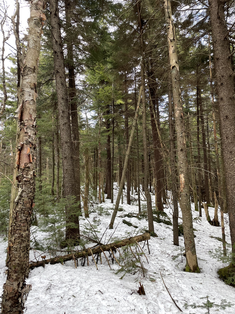
As I approached towards East Rusk, the woods got denser. I believe these were Eastern Hemlocks (and birch).
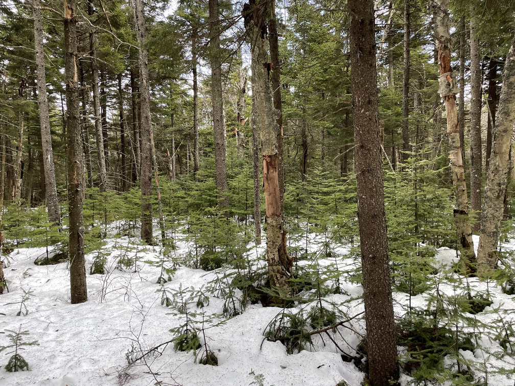
There was even a hemlock nursery!
I continued using my compass, mostly to choose which set of snowshoe tracks to follow. Often the divergent tracks would converge again, but I was at least happy to be making an informed choice.
Around 3200ft the snow started to disappear again (200ft lower than on the approach to Rusk). I had trouble recovering the herd path at this point and got suckered off to the right of where I should have been. When my bearing would have taken me down a steep hill, I opened my phone and confirmed that I was off the planned track. I could tell with my eyes that the terrain was higher off to my left. “Natural navigation” would have served me well here.
I went back to the higher terrain and, after a few more minutes I came out right at a trail junction.
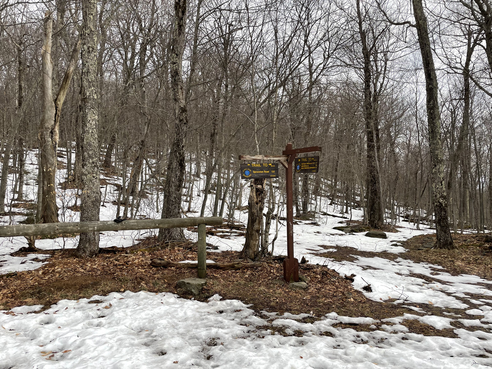
Now another decision: continue on to Hunter or go back to the car? Hunter would have added three miles of hiking and 1000ft of elevation. It was 6:15pm. Sunset was around 7:30pm but it was already looking sunset-y in the mountains. I’d told my neighbor that he should hear from me by 8pm. If I continued up to Hunter, I’d be banking on getting cell reception before then. Best not to push my luck. Hiking down seemed like the right choice.
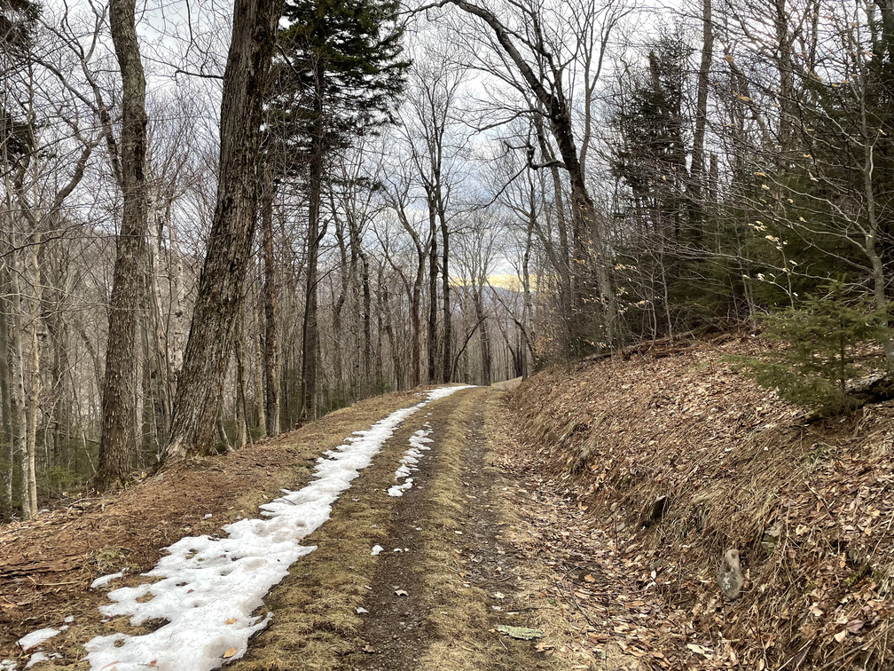
The 1.8 miles back on the carriage road went very quickly. I flushed big families of Dark-Eyed Juncos on the road in front of me and saw another brown creeper. When I got it in my binoculars, I saw it eating a tiny grub! I was back to the car just before 7pm.
My first solo bushwhack was a big success. Eight peaks to go!