Hunter and SW Hunter: April in December
- Peaks: Southwest Hunter, Hunter
- Type: T
- Time: 5 h
- Distance: 10.1 mi
- Elevation Gain: 2375 ft
- Hikers: Dan
Timeline:
- 10:00 AM Start hiking
- 11:45 AM Summit SW Hunter
- 1:00 PM Summit Hunter
-
3:00 PM Back at car
- Tracks: AllTrails
- Conditions: high 40s, low 50s, partly sunny. Some ice on the trails at higher elevation.
Since the weather’s gotten colder, I’ve been focusing on my goal of hiking all 33 of the high peaks in 2023. After some heroics in November, I’m down to five peaks which can be done in three hikes: Hunter and Southwest Hunter, Black Dome and Thomas Cole, and Windham High Peak.
I’d been eyeing the time between Christmas and New Year’s as a perfect time for hiking because it would help with two goals at once: my 2023 list and my winter peaks (the 3500 Club defines “winter” as December 21 to March 21, inclusive). Alex and I plan to stay at a hotel in Windham later this week, but we had a miscommunication about whether I had two hikes left or three. So I decided to take advantage of good weather and car availability today and do a hike.
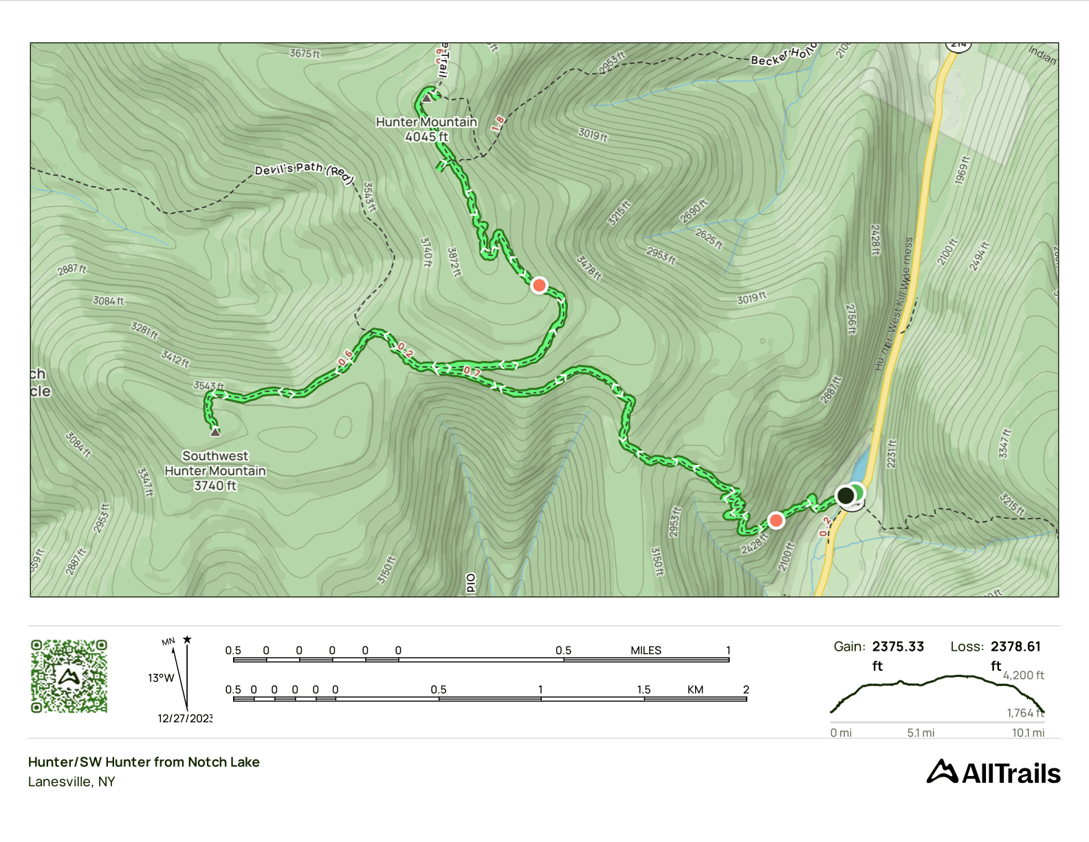
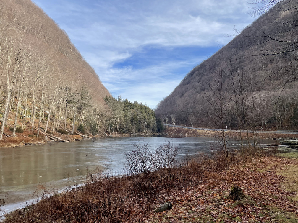
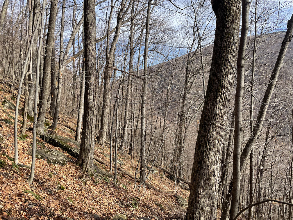
I decided to do Hunter and Southwest Hunter since it’s the longest of the remaining hikes. There are a few ways to do them. Last fall we came from Spruceton Road (the Covid hike). This follows a carriage road which is fast, but kind of dull. And Spruceton Road is a long drive. Today I decided to approach from Notch Lake along the Devil’s Path. It’s the one long section of the Devil’s Path that I haven’t hiked and it looked like less elevation gain than approaching from Becker Hollow.
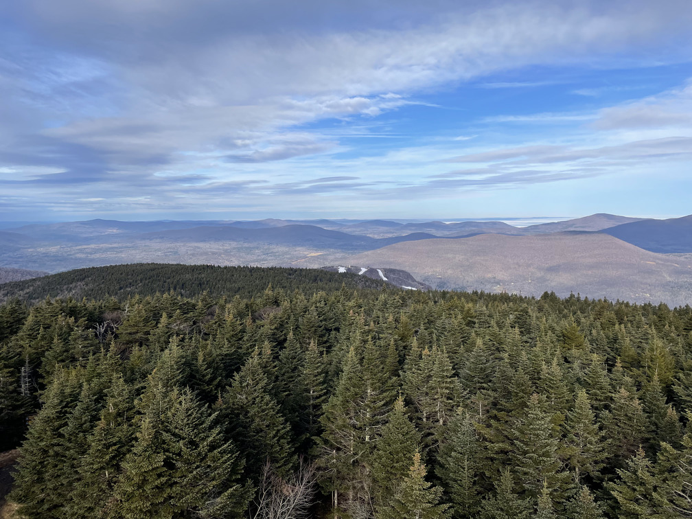
It was extremely foggy on the drive up, and I was worried today would be a repeat of my foggy Black Dome hike from 2020 with no views. But amazingly, once I passed Kaaterskill Falls and Hunter, I was above the clouds and there were clear blue skies. The thermometer in the car shot up from 37° to 49°. It was going to be a good hiking day after all!
I listened to the Inside the Line Catskills podcast episode about solo hiking on the drive up. I was heartened to hear that the host had done maybe 60% of his hikes solo. I was a bit horrified by his packing list for a solo hike, though: a 60L pack for a day hike? Three liters of water? Several pounds of candy? Contrast this with Barefoot Ken who packs half a liter of water and no food, regardless of the length of the hike. I’m somewhere in between: I had 750mL of water with me, a small peanut butter and jelly sandwich, a Clif bar and a cookie.
I found it tough to pack for this hike. It was a winter hike, so I figured I should bring spikes. And I wore thermals. I didn’t know if it would be warm, cold or rainy at the summit, so I brought both a rain jacket and my puffy. I had to turn around just after starting the hike when I realized I’d forgotten to take off my sweater. I figured that would be too much.
The start of the hike is extremely steep: you gain ~1500ft in the first 1.5mi. After just ten minutes my heart was racing and I knew I was overdressed. First I lost the jacket so I was hiking in my t-shirt. Then I decided I should lose the thermals. It felt funny to strip down to my boxers on the hike, but I was glad to get the thermals off! I never put them back on.
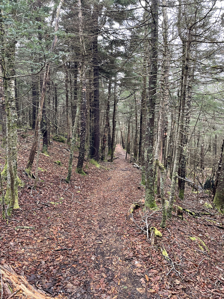
It was hard work getting to the plateau, but once I was there it was all roughly flat. I passed the Devil’s Acre Lean-To, where I’d hoped to camp on a hike that got rained out this fall. Soon I was at the Southwest Hunter turnoff.
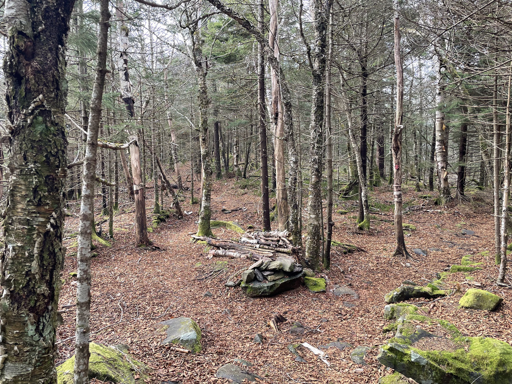
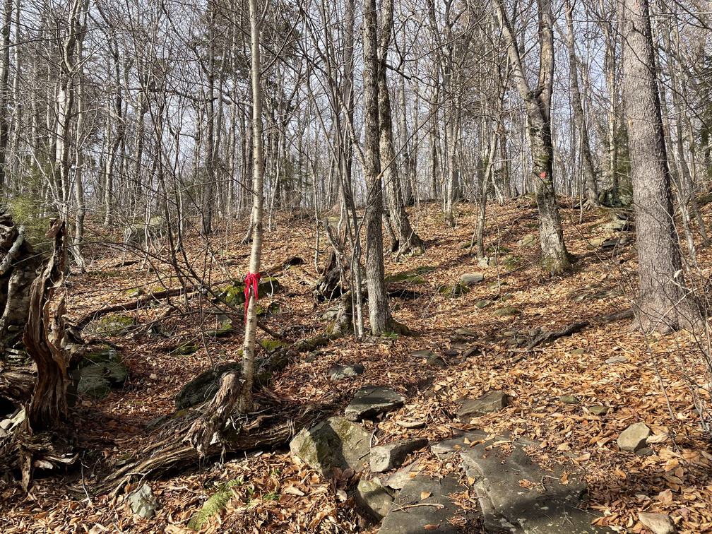
I’ve heard that 50 years ago, Southwest Hunter was one of the toughest peaks to bag since the Balsam Fir forest is so dense. Not so today. There’s a clear turnoff from the Devil’s Path and the herd path is extremely well-defined. The moss along the herd path was beautiful and it smelled amazing from the Balsam.
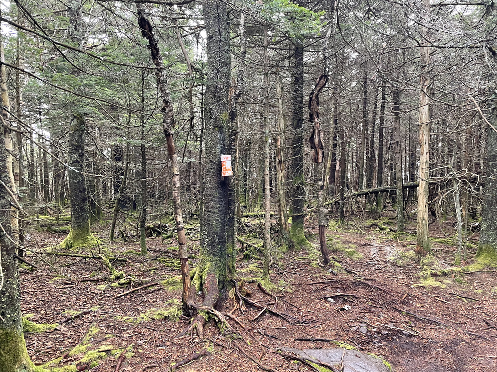
It turns into a bit of a “choose your own adventure” for the last tenth of a mile, but I didn’t have much trouble finding the canister. One peak down!
I ran into the first other hiker of the day on the way back to the trail. I didn’t make the connection at the time, but this hiker, Vincent, was one who I’d traded numbers with at the 3500 Club dinner back in July. He put two and two together when he saw my name in the log and he messaged me about doing some more winter hiking while I was driving home.
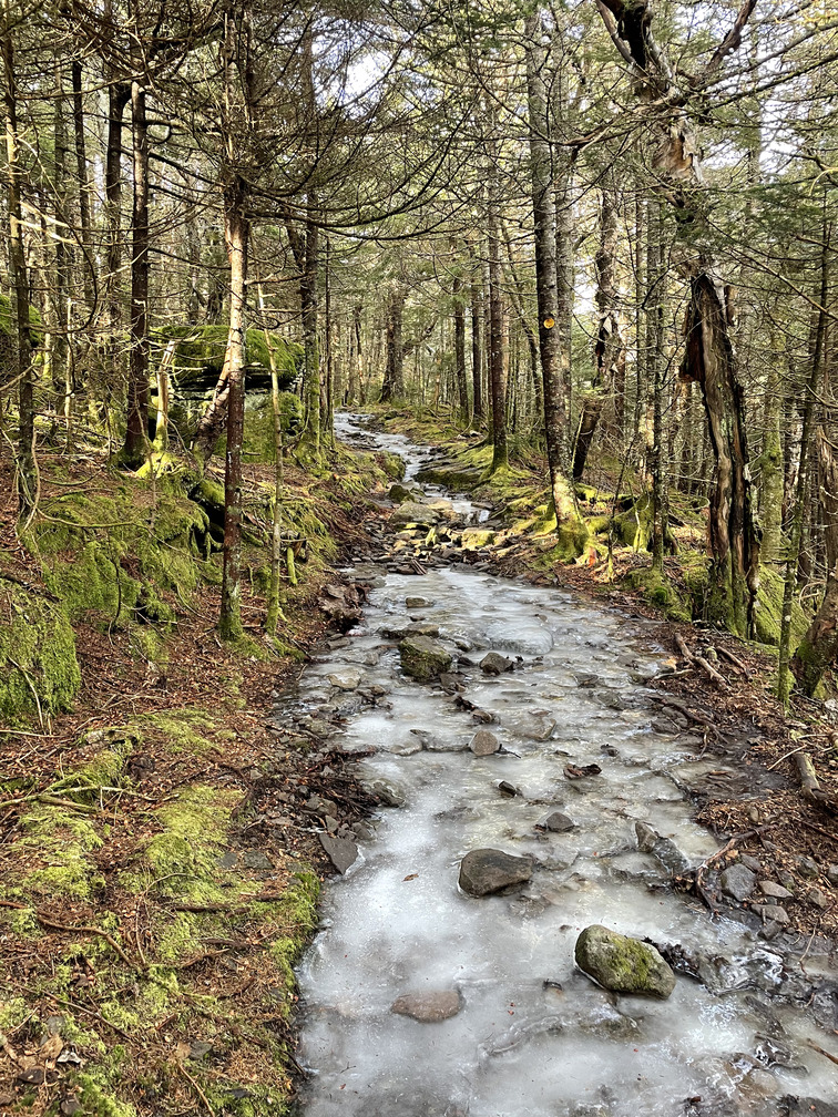
There was some ice on the trail up to Hunter, but it was never quite consistent enough that I wanted to put on spikes. There was always at least as much dirt and rocks as ice. I ran into a group of college-age guys near the summit of Hunter who were hiking in their shorts. Some winter hike!
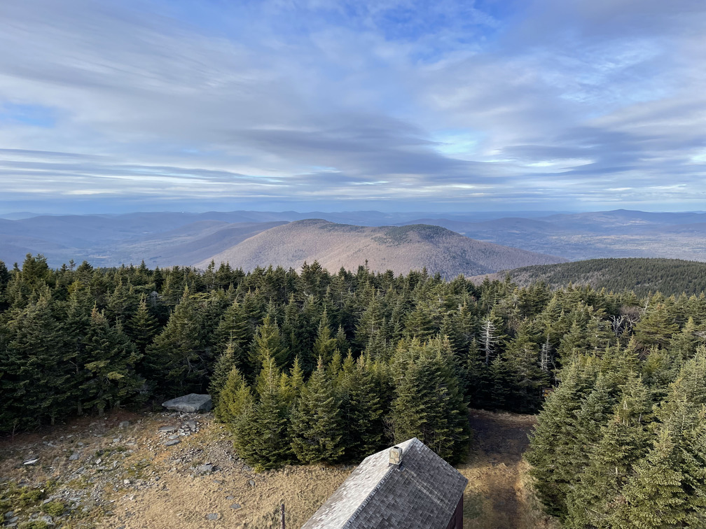
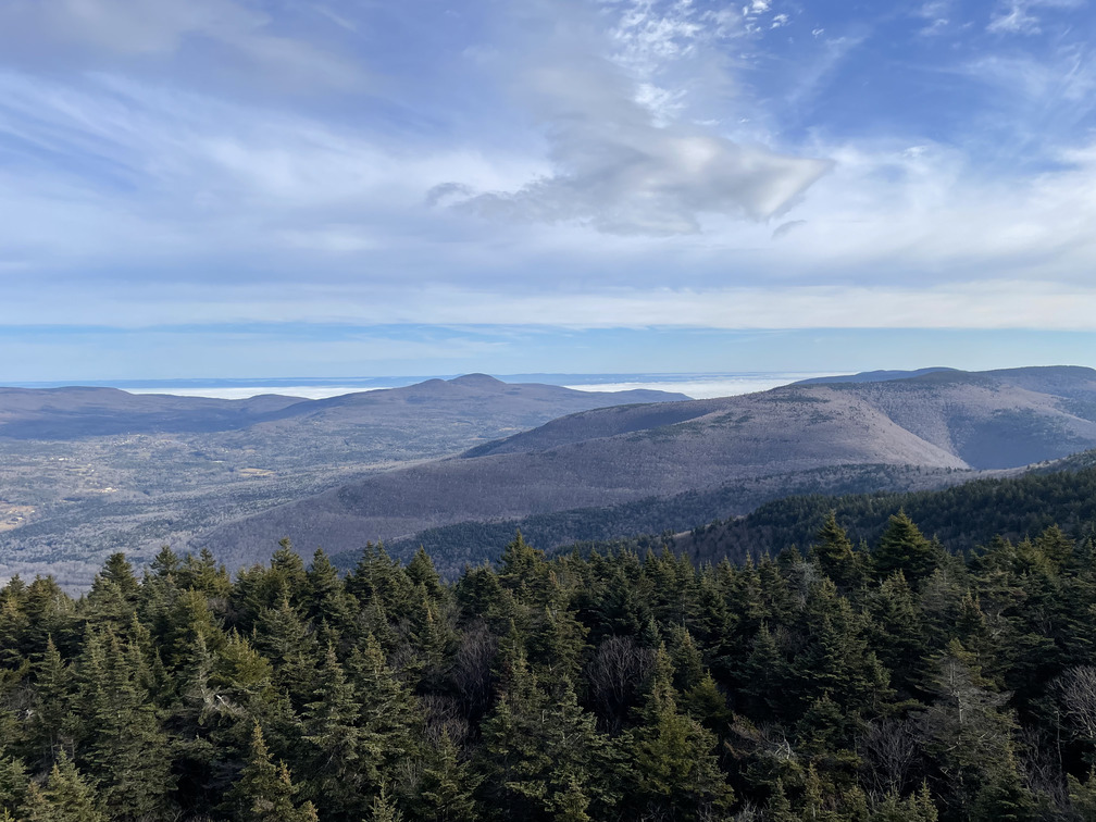
The views from the fire tower were spectacular. I could still see the fog in the valleys I’d encountered on the drive up, and I could see the ski slopes on Hunter Mountain below me. I particularly liked the view of the Rusk/East Rusk ridge that I’d hiked this April.
The hike down was uneventful. After thinking that it was crazy to bring 3L of water on a day hike, I did run out with about a mile to go. The steep part was tough on my knees, but I went slowly and by 3pm I was back to the car, where I had an extra bottle of water stashed. I was out early enough to get home by sunset.
This counts as a winter hike because it’s after December 21st, but it felt much less wintery than either of my hikes in November. It felt more like April today than December. Or like spring without the flowers. (That sounds sad!)
Thirty peaks down, three to go for 2023!